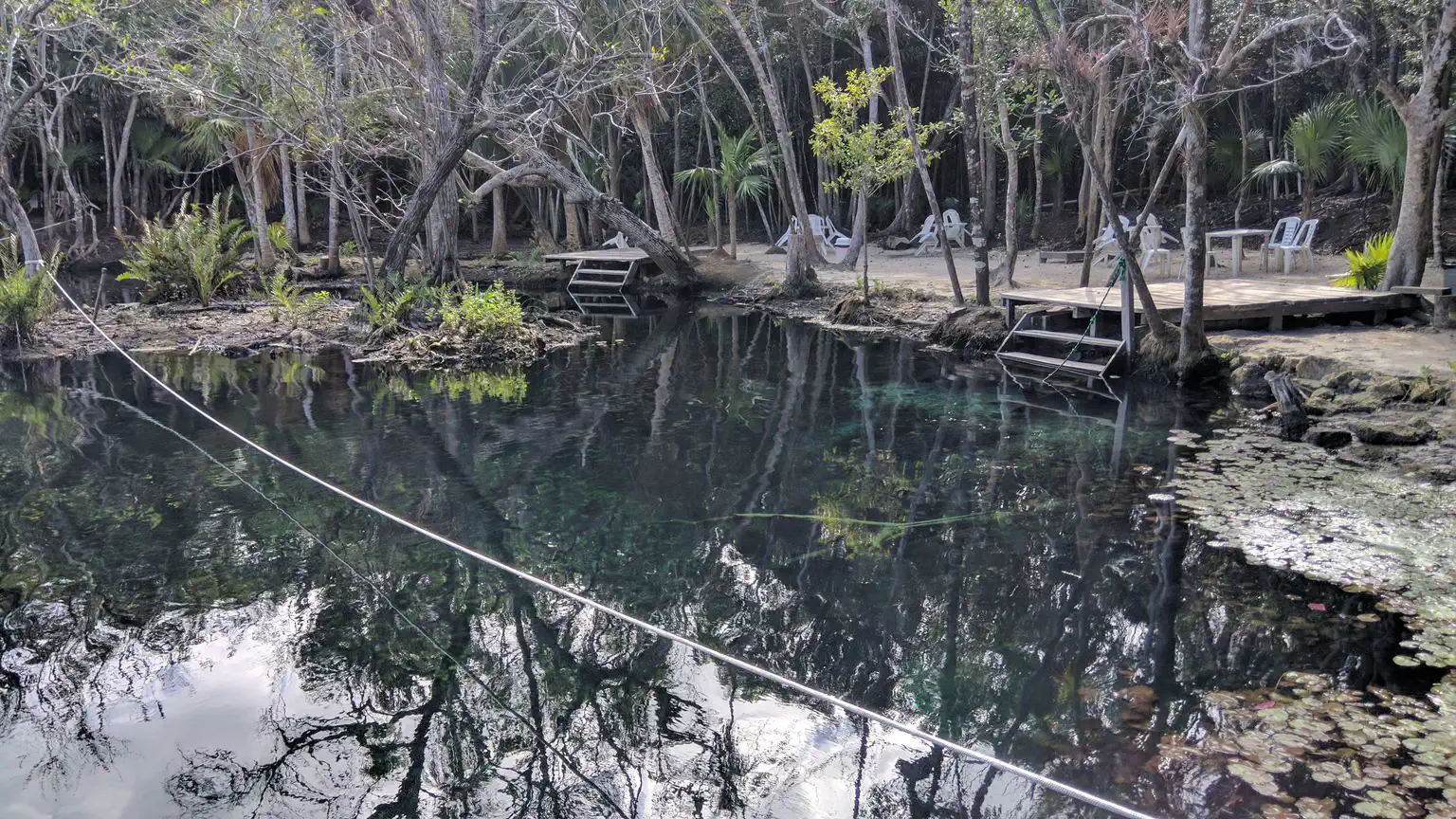
Open data for cave diving
OpenCaves gathers what cave divers want to know about caves and cave systems around the world: where they are, how to get in, how they connect, what the surveys show. Open, and built by divers. It starts with the cenotes of the Yucatán.
Discover
A few of the caves on OpenCaves.
All the caves


Popular caves and systems
The most visited caves, and the longest cave systems.
Popular caves
- Corazón del paraíso
- Kin Ha · Tortuga system
- Mayan Blue · Naranjal system
- Taa'k Bi Ha · Dos Ojos system
- Mott Mott · Dos Ojos system
- Grand Cenote · Sac Actun system
- Tres Estrellas · Tux Kupaxa system
- Balam Ts’al · K'oox Baal system
- La Gloria · Dos Ojos system
- Ayim · Ox Bel Ha system
Longest cave systems
- Ox Bel Ha · 496.8 km
- Sac Actun · 379.6 km
- K'oox Baal · 103.1 km
- Xunaan Ha · 57.3 km
- Toh Ha · 47.7 km
- Zapote-Camilo · 40.2 km
What you'll find
Everything a cave diver looks up before a trip, in one place.
Regions
Yucatán Peninsula, Mexico
- Akumal · 49
- Boca Paila - Sian Ka'an Biosphere Reserve · 7
- Chemuyil · 77
- Coba Road · 62
- Cozumel Island · 33
- Isla Alamo · 5
- Muyil · 24
- Nohoch Nah Chich · 155
- Playa Del Carmen North · 31
- Puerto Aventuras · 135
- Puerto Morelos · 34
- Tulum North · 31
- Tulum South · 146
More regions will come as divers add them.
Built by divers
OpenCaves is open data: anyone can read it, and divers keep it up to date. Sign up to add caves, photos, videos and ratings, and get updates on new caves and systems. The app itself is open source.